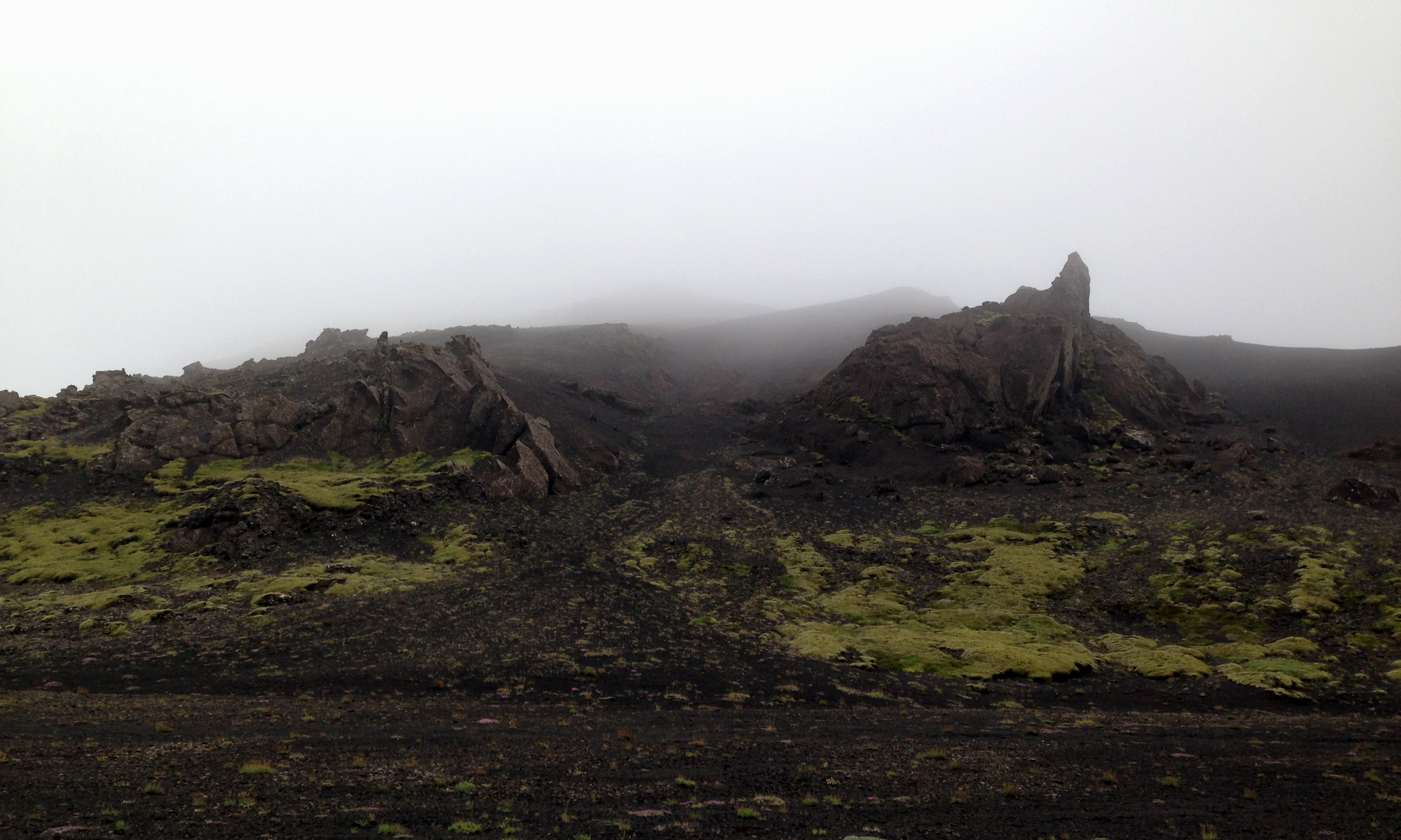
xRez Studio had the great pleasure of providing digital terrain capture for Björk’s recent special venue film “Black Lake”, featured at MoMA NYC in her retrospective exhibition in spring 2015 and directed by the gifted designer and director Andrew Thomas Huang . Continue reading “Björk Black Lake Digital Terrain”
Iceland 2014 Shoot
We were fortunate to spend time shooting with our old friend Olafur Haraldsson in his home turf in Iceland during the summer of 2014. Continue reading “Iceland 2014 Shoot”
Autodesk Photogrammetry Capture for Maya 2015 Launch

In October 2013, xRez Studio was contracted by Autodesk to capture spectacular landscape features of our choosing to be used for content promoting an upcoming launch of Maya 2015. Continue reading “Autodesk Photogrammetry Capture for Maya 2015 Launch”
GlacierWorks- Climate Change in Gigapixel

xRez Studio is partnering with GlacierWorks, a non-profit organization that uses art, science, and adventure to raise public awareness about the consequences of climate change in the Greater Himalaya. Continue reading “GlacierWorks- Climate Change in Gigapixel”
SpaceCam Systems/ xRez Studio Joint Agreement

We are pleased to announce a joint agreement with SpaceCam Systems, the leader in high-end aerial cinematography. We are currently developing some very exciting technology together and hope to offer innovative solutions for new means of aerial capture in the very near future. Continue reading “SpaceCam Systems/ xRez Studio Joint Agreement”
FINE 2010 Presentation

The presentation xRez Studio made for the “Fine International Conference on Gigapixel Imaging for Science” 2010 at Carnegie Mellon is now on-line. Continue reading “FINE 2010 Presentation”
Photogrammetric Gigapixel Images

While doing work on the National Geographic special “Sunken Treasures of the Nile” a significant archaeological find was made. Philippe Martinez discovered what we have been calling “Stela M” that contains the first description ever found of how the 1000 ton obelisks were moved. Philippe needed gigapixel detail documentation of the surface so that he could have a good record of the surface for later study. Unfortunately the Stela had fallen over from it’s original position and was facing the ground making a “head-on” photo impossible. Continue reading “Photogrammetric Gigapixel Images”
Photogrammetry from Kite Aerial Photography (KAP)

While working on the National Geographic Special “Sunken Treasures of the Nile” we were very interested in how we could represent the terrain of the surrounding area. Unfortunately there were no DEM (Digital Elevation Models) of this remote area and we were unable to charter an aircraft due to the designation of military air-space. The only method we had available to us for re-creating this kind of terrain was through the use of Kite Aerial Photography and Photogrammetry. We were able to capture 57 million 3D points of the terrain from this simple aerial platform and a DSLR. Continue reading “Photogrammetry from Kite Aerial Photography (KAP)”


